


12 km | 15,2 km-effort

Usuario


Aplicación GPS de excursión GRATIS
 SityTrail
IGN / Institutos geográficos
SityTrail World
El mundo es suyo
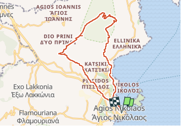
Ruta Senderismo de 21 km a descubrir en Αποκεντρωμένη Διοίκηση Κρήτης, Περιφερειακή Ενότητα Λασιθίου, Κοινότητα Ἁγίου Νικολάου. Esta ruta ha sido propuesta por wallander76.
Pas toujours facile de trouver le bon itinéraire !! Les sentiers balisés sont rares et on se retrouve fréquemment face à des grillages et des grilles fermées. Le nombre de kilomètres parcourus est donc sensiblement supérieur à ce que je pensais.


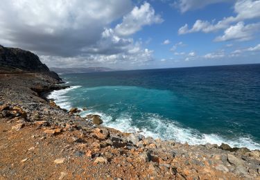
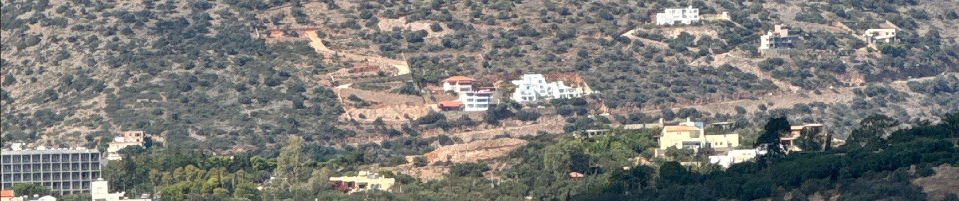
Senderismo

Senderismo
Senderismo
Senderismo
Senderismo
Senderismo
Senderismo
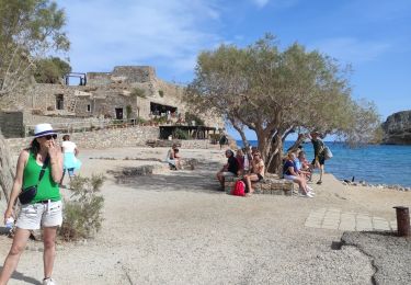
Senderismo
Senderismo